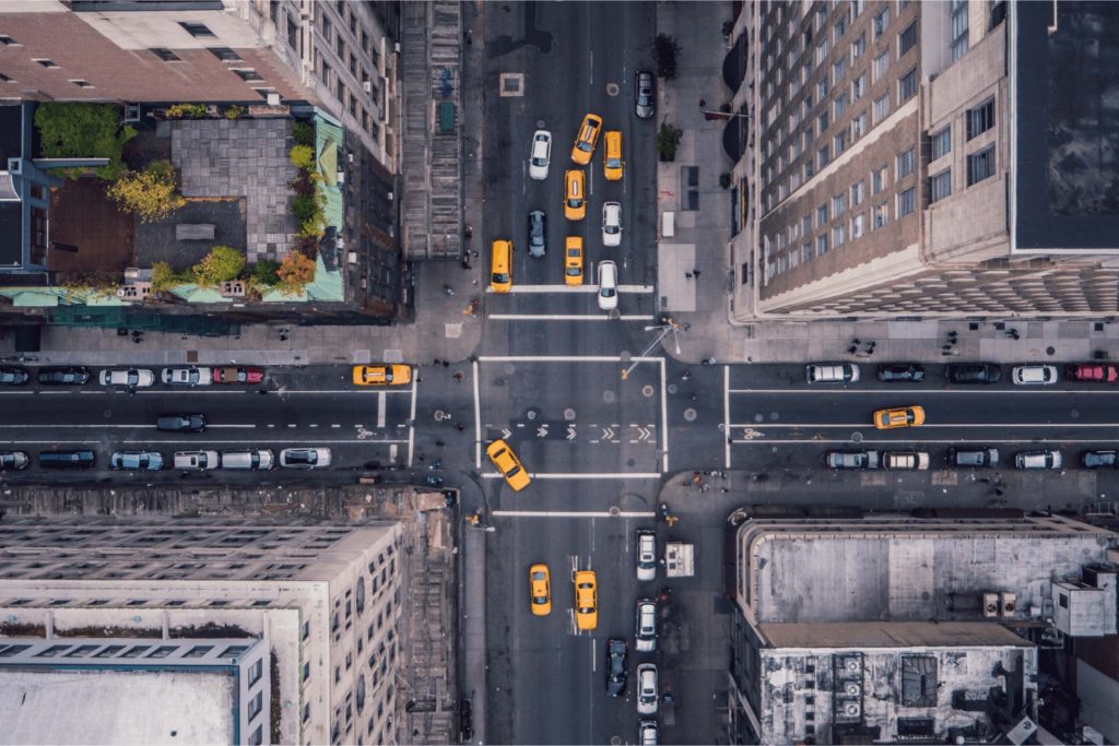
When it comes to technological advancements, transportation has been one of the most developed fields in the past years; GPS and map apps, 360 degrees cameras-equipped cars alert us of nearby objects to potentially avoid costly scrapes and scratches, and autonomous electric vehicles are becoming increasingly popular. Nevertheless, for all those advancements, we are basically left to our means when it comes to road safety: a steady flow of road signs, blind trust, and the steel surrounding us.
TO PREDICT IS TO AVOID
We have always wanted to predict the future; it has been a topic of countless science fiction novels and movies. Now we are a step closer to making this a reality, at least when it comes to road safety.
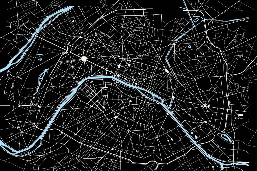
Car crashes have an inherent uncertainty about them. To get ahead of this, a group of scientists from MIT’s Computer Science and Artificial Intelligence Laboratory (CSAIL) and the Qatar Center for Artificial Intelligence developed a deep learning model that predicts very high-resolution crash risk maps.
The risk maps describe the expected number of crashes over a specific period based on satellite imagery, GPS traces, and historical data, thus allowing the model to identify high-risk areas and predict future impacts.
Car crashes, although sparse, cost around 3 percent of the world’s GDP and are the leading cause of death among young adults. The average probability of a car crash in a 5×5 grid cell is about one in 1000, and it rarely happens in the exact location twice. Therefore, creating inferring high-resolution maps is a highly complex task. Usually, when a particular software would predict a crash, it would base its algorithm on ‘historical’ data, as the surveyed area would only be considered high risk if there were previous nearby crashes.
Many apps like Apple Maps, Google Maps, and Waze have a feature to identify incidents, but only after they happen. If people can use these high-definition maps to identify high-risk road segments, they can reduce the risk of the trips they usually make.
According to student Songtao He, a lead author of a paper about this research: “By capturing the underlying risk distribution that determines the probability of future crashes at all places, and without any historical data, we can find safer routes, enable auto insurance companies to provide customized insurance plans based on driving trajectories of customers, help city planners design safer roads, and even predict future crashes,”
The model was developed using data from crashes between 2017 and 2018 and tested between 2019 and 2020. The interesting thing about the results was that many places were identified as high risk without having any recorded crashes. As predicted, these exact locations saw crashes happen in the following years.
From Los Angeles, New York City, Boston, and Chicago, 7,500 square kilometers of data were covered. L.A. turned out to be the most unsafe, with the highest crash density.
Amin Sadeghi, a lead scientist at Qatar Computing Research Institute, says: “Our model can generalize from one city to another by combining multiple clues from seemingly unrelated data sources. This is a step toward general AI because our model can predict crash maps in uncharted territories.
This kind of model, when fully implemented, could be a godsend for city planners and police departments. The ability to predict and compare imaginary scenarios could lead to a completely different approach to traffic flow, policing, radar placement, and driver’s safety.
This article was brought to you by Kustom Signals, a leading provider of law enforcement speed enforcement and video solutions.